
Texarkana's Wildest Radio Station!
Texarkana's Wildest Radio Station!
July 16, 2026
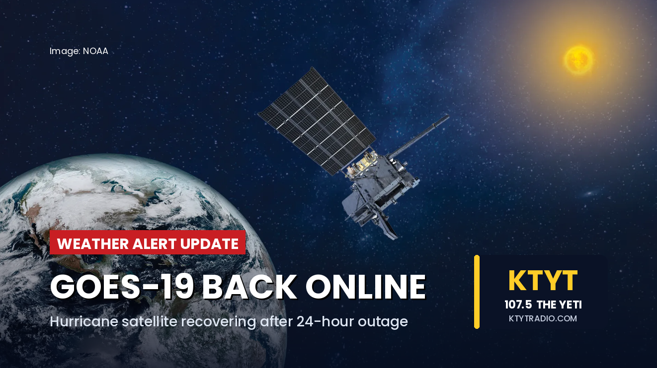
Hurricane-Tracking Satellite Back Online After 24-Hour Outage; Lightning Detection Still Down
WASHINGTON — NOAA's primary hurricane-tracking satellite is transmitting imagery again after an unexpected 24-hour outage that left forecasters without their main eye on the Atlantic during hurricane season.
GOES-19, NOAA's operational GOES-East satellite covering the eastern United States, the Atlantic, the Caribbean, and the Gulf, went into a protective "safehold" mode Wednesday afternoon, cutting off all imagery and data products beginning at 3:23 p.m. Central time. Engineers suspect the problem originated with the satellite or one of its instruments; NOAA has not announced a cause.
Recovery came in stages Thursday. NOAA announced the safehold had been resolved Thursday morning, and by 4:45 p.m. Eastern time, the satellite's main camera — the Advanced Baseline Imager — had resumed producing and delivering imagery.
The satellite is not fully back, however. Its Geostationary Lightning Mapper, which detects rapidly intensifying storms — sometimes before radar catches them — remains offline, along with its solar imager. NOAA said instruments are being restored in sequence, with the full recovery process projected to take roughly eight hours from Thursday afternoon.
The outage struck at a sensitive moment: during hurricane season, in a week with potential tropical development, and while forecasters were managing flooding rainfall operations in Texas. Weather forecasting never stopped — meteorologists relied on radar, weather balloons, aircraft, computer models, and NOAA's western satellite, GOES-18, during the outage. NOAA also keeps GOES-16 in orbit as a backup, though it was not needed.